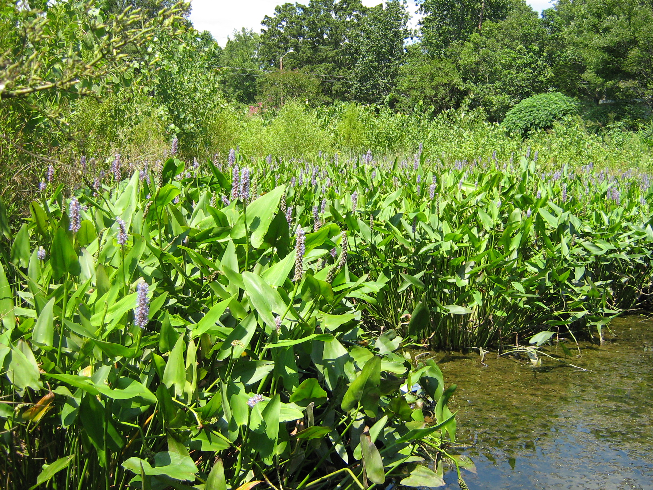
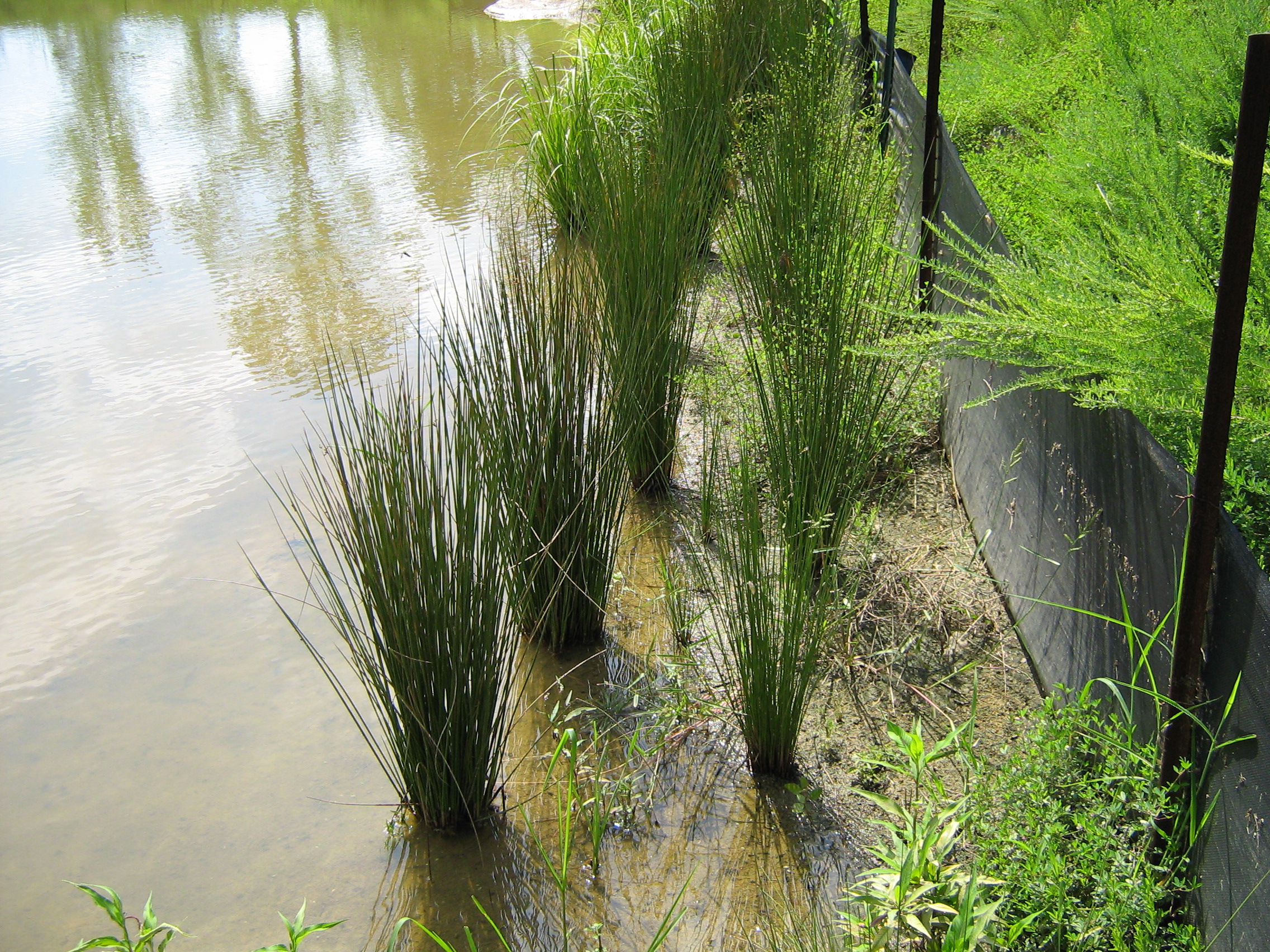
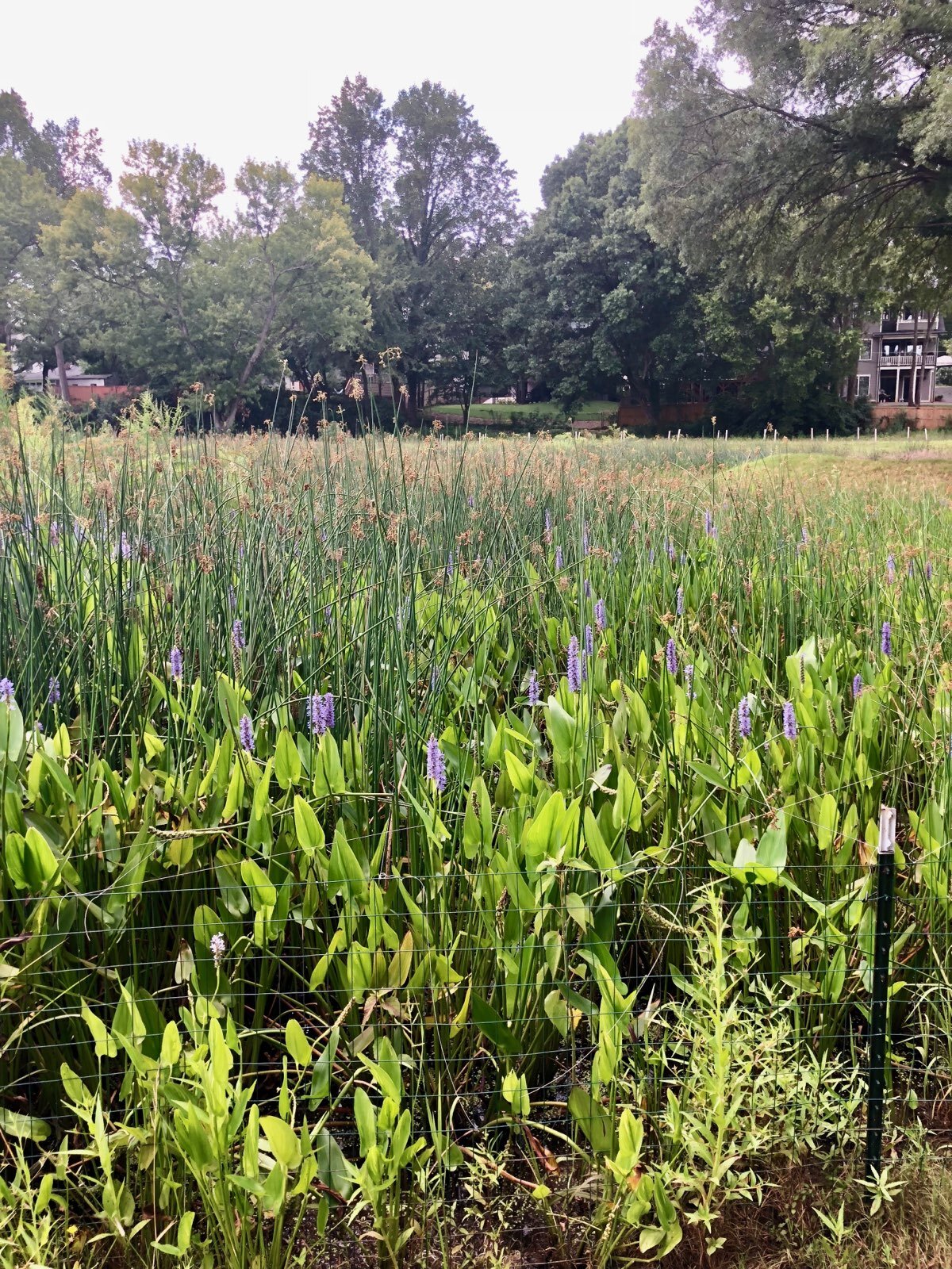
Wetland Restoration
Wetland restoration is an essential tool in the campaign for the federal goal of “no net loss of wetlands.” Wetland restoration also is used to restore, improve, and increase the quality of wetlands. Wetlands that have been filled and drained retain their characteristic soils, allowing their natural functions to be reclaimed once hydrology is restored. Restoring our lost and degraded wetlands to their natural state is essential to the health of America’s watershed. For the developer, restoring wetlands is an option for meeting the mitigation requirements for Clean Water Act Section 404 and 401 Permits. The term “wetland restoration” applies to natural wetland sites with hydric soils that have been subjected to degradation from anthropological activities. The purpose is to restore wetland function, value, habitat, diversity, and capacity to a close approximation of its original condition as it existed prior to the disturbance.
Components of wetland restoration goals incorporate:
Conditions conductive to hydric soil maintenance.
Wetland hydrology (water source and hydroperiod).
Native hydrophytic vegetation (including removing undesired species and
installing desired species).
Original fish and wildlife habitats.
Detailed plans and specifications are prepared that clearly define the goals and objectives of the restoration and specify the soil, hydrology, vegetation and wildlife criteria that are to be met. These planning steps are implemented with the use of a Functional Value Assessment of the wetland prior to disturbance using the North Carolina Wetland Assessment Methodology (NCWAM). These plans are based on those functions that can be supported by current site conditions. Data from historic and recent aerial photography, soil maps, stream gauge data, reference wetlands and historical records are assembled to determine the wetland boundaries and characteristics. As well, the soils, hydrology and vegetation conditions on the existing adjacent landscape and contributing watershed are documented.